
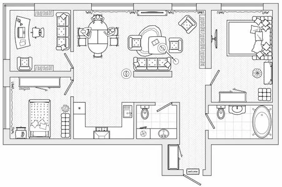
Floor Plans
Existing and proposed layouts for additions, remodels and conversions.

Site plans & plot plans
A scaled drawing of your lot, your buildings and the work you plan, with every distance the permit office checks. Drafted from your address. No site visit.
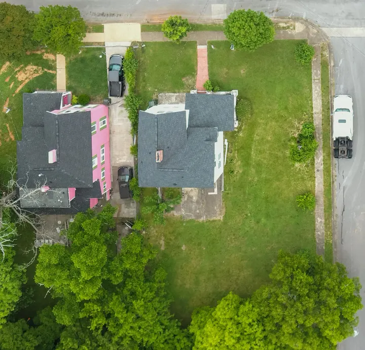
Example sheet
This is how a finished sheet looks for a new pool. Hover or tap a number to see what each part is and why the reviewer needs it.
Every line dimensioned, so the reviewer can confirm the lot matches the parcel record.
The zone the new work must stay inside, drawn from your zoning district’s numbers.
House, driveway and other structures, labelled “existing”.
Size and outline of what you’re building, so it can’t be mistaken for existing work.
Here, the pool barrier. For a fence it’s height and gates; for a deck, stairs and height.
Measured from the closest edge of the new work. This is the number most reviewers check first.
Recorded easements, septic, wells or lines near the work, when the records or you show them.
So the sheet can be measured and oriented on the lot.
Address, scale, date and where the lot data came from, so anyone can see what the drawing is based on.
Your sheet follows your county’s checklist, so the parts can differ from this example.
Quick answer
A site plan (often called a plot plan) is a scaled, top-down drawing of your lot showing the property lines, every building on it and the work you want to build, with the distances between them. The permit office uses it to check setbacks, lot coverage and easements. It is not a boundary survey.
What’s included
Counties don’t all ask for the same things. The left column is on every plan we draw. The right column is added when your permit office’s checklist asks for it, and we tell you in the quote.
By project
The basics are the same, but each project adds its own details. Pick yours to see what we put on the sheet.

Often also asked for: framing plan and footing details.
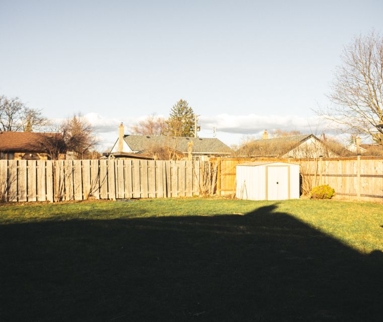
Often also asked for: HOA approval and a fence detail.
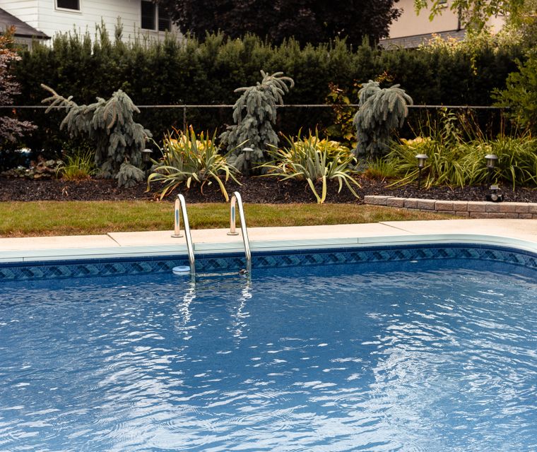
Often also asked for: barrier details and an electrical plan from your pool contractor.
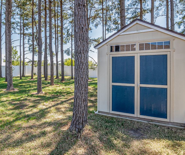
Often also asked for: a floor plan and elevation for larger sheds.
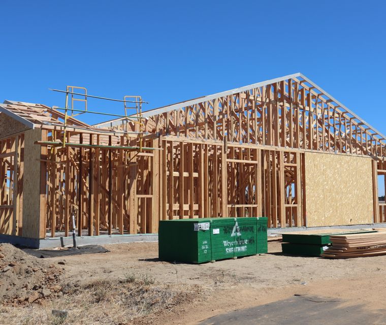
Often also asked for: floor plans and elevations.

Often also asked for: a full permit set with floor plans, elevations and structural sheets.
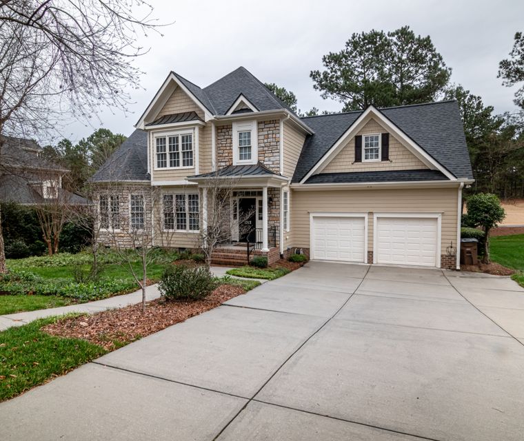
Often also asked for: a right-of-way permit from the road authority.

Often also asked for: a wall section, and an engineer’s stamp for taller walls.
Also: garages, carports, solar, EV chargers, patios and commercial sites. Ask about yours
Is this the right drawing?
“Site plan” and “plot plan” usually mean the same sheet. A boundary survey is different: it’s a licensed field measurement. Here’s how to tell which one your permit needs.
| Question | Site plan | Plot plan | As-built site plan | Boundary survey |
|---|---|---|---|---|
| What it shows | Lot, buildings, new work and the distances between them | The same; some counties use it for a simpler sheet | What’s on the lot today, with no new work | Measured boundary lines, corners and recorded features |
| Who prepares it | A drafter | A drafter | A drafter | A licensed land surveyor |
| Site visit | No | No | No | Yes |
| Proves where the line is | No | No | No | Yes |
| Typical use | Building permits and HOA review | Fence, shed and other simple permits | Permitting work that’s already built, refinancing records | Boundary questions, building near the line, lender or title needs |
| We draw it | Yes | Yes | Yes | No, you’ll need a local surveyor |
Not sure? Send your county’s checklist with your quote request. We’ll tell you which one it asks for before you pay anything.
Plan review
Most site plans that get sent back are missing one of these. We draw every sheet against this list before it reaches you.
“Is the new work inside the setbacks?”
Setback lines drawn, and the distance from the new work to every lot line written on the sheet.
“Can I measure this drawing?”
A stated scale, a scale bar that still works if the sheet is resized, and a north arrow.
“What’s new and what’s already there?”
New work shaded and labelled “proposed”; everything else labelled “existing”.
“Is the lot over its coverage limit?”
A coverage table with lot area, building area and impervious area, when your code sets a limit.
“Does it sit on an easement, septic field or well?”
Recorded easements and known utilities shown near the work, from the plat, deed or your photos.
“Where did these numbers come from?”
Data sources named in the title block, with a note that the sheet is drafting, not a survey.
Already got comments back on a plan? We revise drawings to answer each reviewer comment, including plans drawn by someone else.
Permit CorrectionsWhat to send us
No survey? That’s common. We start from the county parcel map and recent aerial imagery, and name both as sources on the sheet.
How it works
Use the quote form or WhatsApp. Two minutes.
We check your county’s requirements and reply with the price and turnaround. Nothing starts until you approve.
Drawn to scale and checked against the reviewer list above, ready to upload.
Deliverables & pricing
We quote each plan because lots and county rules differ a lot. Here’s exactly what you get, and what moves the price up or down.
Free quote. You see the price before we start.
Where we work
We draft to the rules of your city or county, wherever you are. State pages list the drawings local offices usually ask for.
Not in California. California law counts locating property lines as land surveying (Bus. & Prof. Code §8726), so a licensed surveyor must prepare those plans. What to do instead.
Engineer stamp
Usually not for homeowner projects like decks, fences and sheds. Some permits ask for one, often for grading, drainage or taller retaining walls.
When yours does, our licensed engineer partner reviews and seals eligible plans in the states where they hold a licence. We confirm this in your quote.
Engineer-Stamped PlansOften ordered together
Additions, garages and ADUs usually need more sheets. Order them together and they’re drawn to match each other.
Existing and proposed layouts for additions, remodels and conversions.
Building heights, roof pitch and materials, for permits and HOA review.

Every sheet your project needs, drawn by one team so they agree.

Site plan FAQ
Short answers to what people ask before ordering. Ask anything else in your quote request.
Get Price QuoteYes, and it’s the best starting point. We draw the lot lines from it and name it as a source on the sheet. An old survey still works if the lot hasn’t been split or merged since.
We start from the county parcel map and recent aerial imagery. Most residential permits accept that. If your county insists on a sealed survey, we tell you in the quote, before you pay.
Yes. We draw the setback lines for your zoning district and write the distance from the new work to every lot line. If your county sent you its own numbers, we use those.
Most HOA review committees accept a scaled site plan. Some also want elevations, colours or a rendering. Send their checklist and we’ll match it.
Yes. Send the parcel number (APN) from your tax bill or the county map, or drop a pin on a map. That’s enough to find the lot.
Yes. That’s an as-built site plan: it shows what’s on the lot today, with no new work. People use it to permit existing structures or update records.
California treats locating property lines as land surveying, which needs a licensed surveyor. We’d rather say so up front than sell a plan the county may reject.
A vector PDF sized for your permit office, ready to print or upload. If you need another format, ask in your quote.