
To find your flood zone, you look up your address on FEMA’s Flood Insurance Rate Map, either through FEMA’s online Flood Map Service Center or your county’s GIS viewer. The map shows whether your property is in a Special Flood Hazard Area, which zone applies, and often the base flood elevation. Knowing this before you buy, design or build tells you which rules, permits and insurance requirements will apply.
Quick answer: Search your address on FEMA’s Flood Map Service Center (msc.fema.gov) or your county GIS flood layer. Note the flood zone (such as AE or X), the FIRM panel number and effective date, and any base flood elevation line near your building. Confirm with your community’s floodplain administrator, and check for Letters of Map Change affecting your lot.
Step-by-step: find your flood zone on FEMA’s map
- Go to FEMA’s Flood Map Service Center and enter your address.
- Open the dynamic map or the FIRM panel image for your location.
- Find your lot and note the zone label in the shaded area around it.
- Look for base flood elevation lines (wavy lines with numbers) or static BFEs in the zone label, such as “AE (EL 12)”.
- Note the panel number and effective date.
- Check for Letters of Map Change (LOMA or LOMR) listed for the panel.
- Save a FIRMette, a printable map excerpt, for your records.
For how the zone affects building, see our pillar on building in a flood zone.
Using county GIS instead
Many counties include FEMA’s National Flood Hazard Layer in their GIS viewers, alongside parcels and aerial photos, which makes it easier to see where the flood boundary crosses your lot. Turn on the flood hazard layer and the parcel layer. See how to read a GIS parcel map. If the GIS and FEMA maps differ, the effective FEMA map governs.
Reading flood zone labels
| Label | What it tells you |
|---|---|
| A | SFHA, no BFE determined |
| AE (with BFE lines) | SFHA with base flood elevations |
| AO (depth 1–3 ft) | Shallow sheet flow with a flood depth |
| AH (EL x) | Ponding with an elevation |
| VE (EL x) | Coastal high hazard with wave action |
| Shaded X | 0.2% annual chance, outside SFHA |
| X | Minimal mapped hazard |
| Floodway (hatched) | Channel to be kept clear; strictest rules |
Finding the base flood elevation
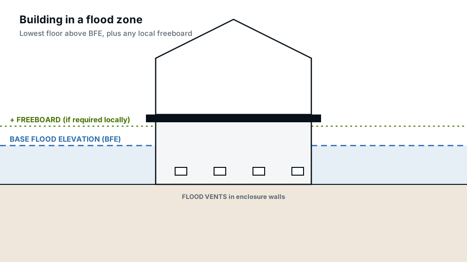
In AE zones, BFE lines cross the floodplain at intervals, each labelled with an elevation. Your BFE is found by interpolating between the lines on either side of your building. Some areas use “static” BFEs shown in the zone label. In A zones without BFEs, the community may provide one, or a surveyor or engineer may need to determine it. The elevation datum, usually NAVD 88, is noted on the map; use the same datum for building elevations.
When your lot is partly in a flood zone
Flood boundaries often cross lots. What matters for building rules is usually whether the building or development footprint is in the SFHA. A surveyed elevation of the ground at the building can clarify whether a building mapped in the zone is actually above BFE, which may support a LOMA. Show the flood boundary on your site plan if it crosses the lot.
Checking for map changes
- LOMA: removes a property or building from the SFHA based on elevations.
- LOMR: revises the map for an area, often after new studies or projects.
- Preliminary maps: new maps not yet in effect, which may change the zone soon.
The Flood Map Service Center lists these by panel. Preliminary maps can matter for design even before they take effect, and some communities use them for permits.
Confirm with your community
Your city or county floodplain administrator can confirm the zone, BFE, any local freeboard requirement, and whether local maps or higher standards apply. Ask before designing; some communities regulate areas beyond FEMA’s SFHA.
Flood risk beyond the map
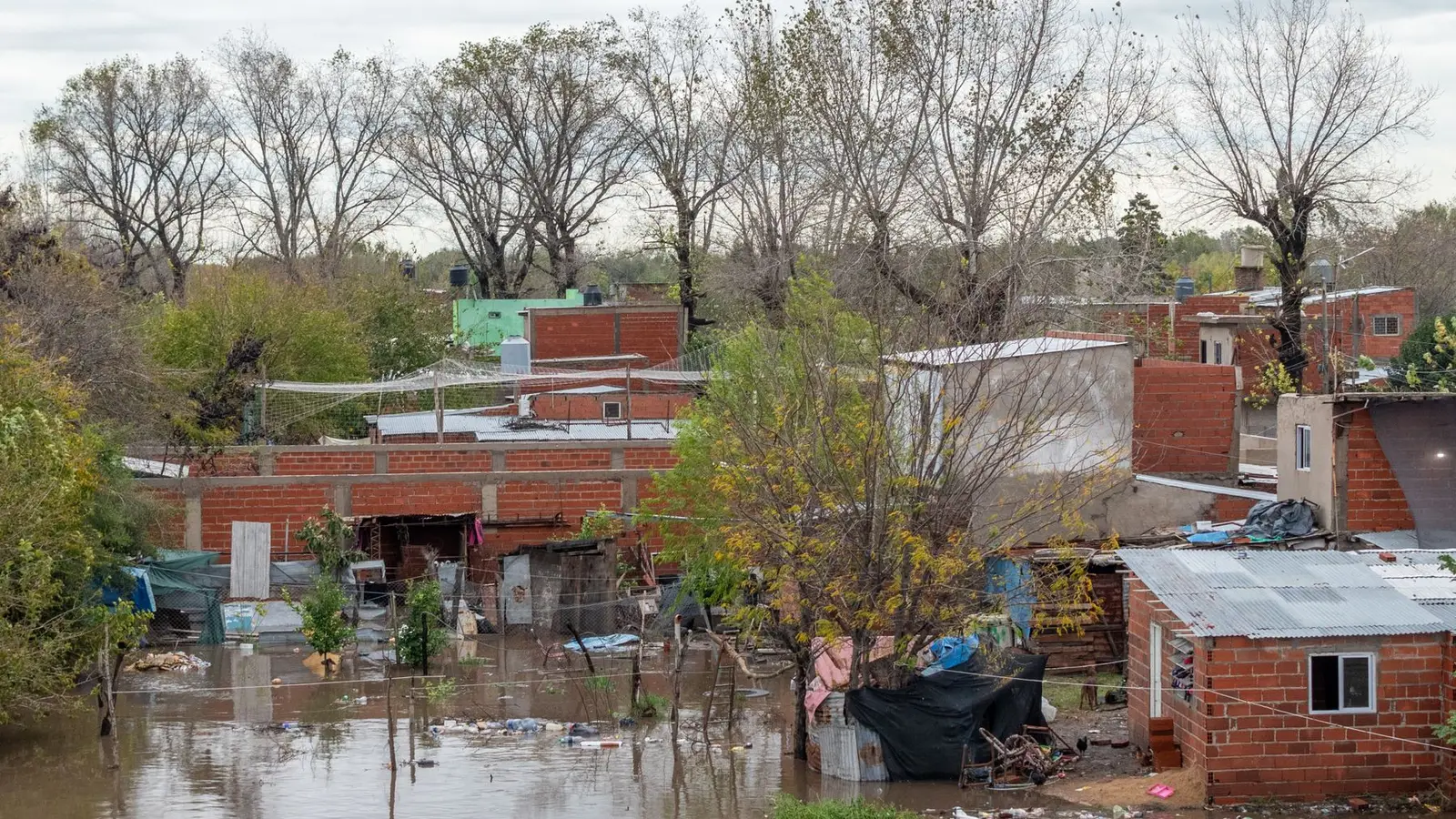
Flood maps show regulatory risk, not every flood. Properties outside mapped zones can still flood from heavy rain, poor drainage or changes upstream. A large share of flood insurance claims come from outside high-risk zones. Look at the property’s topography, drainage and local history, not only the zone.
Flood zone determinations for lenders
When you buy or refinance, the lender orders a flood zone determination, a standard form stating whether the building is in a Special Flood Hazard Area. If it is, and the loan is federally backed or regulated, flood insurance is required. If you believe the determination is wrong, for example because the building sits on high ground, you can ask for a review or apply to FEMA for a Letter of Map Amendment with surveyed elevations.
Why it matters for your project
- Building, additions and remodels may need floodplain permits.
- Floor elevations and construction methods change.
- Elevation certificates may be required; see elevation certificates.
- Large improvements may trigger the substantial improvement rule.
- Flood insurance may be required by lenders.
Common mistakes
- Relying on a third-party website instead of the effective FEMA map.
- Ignoring a floodway that crosses part of the lot.
- Mixing elevation datums.
- Assuming zone X means no flood risk.
- Missing preliminary map changes.
Putting flood information on your site plan
When a lot is in or near a flood zone, our site plans show the zone boundary, BFE and panel reference, so reviewers can see the flood context with the proposed work.
Frequently asked questions
How do I find my flood zone?
Search your address on FEMA’s Flood Map Service Center or your county GIS flood layer.
What is a FIRM?
A Flood Insurance Rate Map, FEMA’s official flood hazard map.
What does zone AE mean?
A high-risk area with a determined base flood elevation.
Is zone X safe from flooding?
It is lower mapped risk, not no risk. Many flood claims come from outside high-risk zones.
What is a FIRMette?
A printable excerpt of the official flood map for your location, available from FEMA’s Flood Map Service Center.
How do I find my base flood elevation?
From BFE lines or zone labels on the FIRM, or from the community or a surveyor in A zones.